1
/
of
1
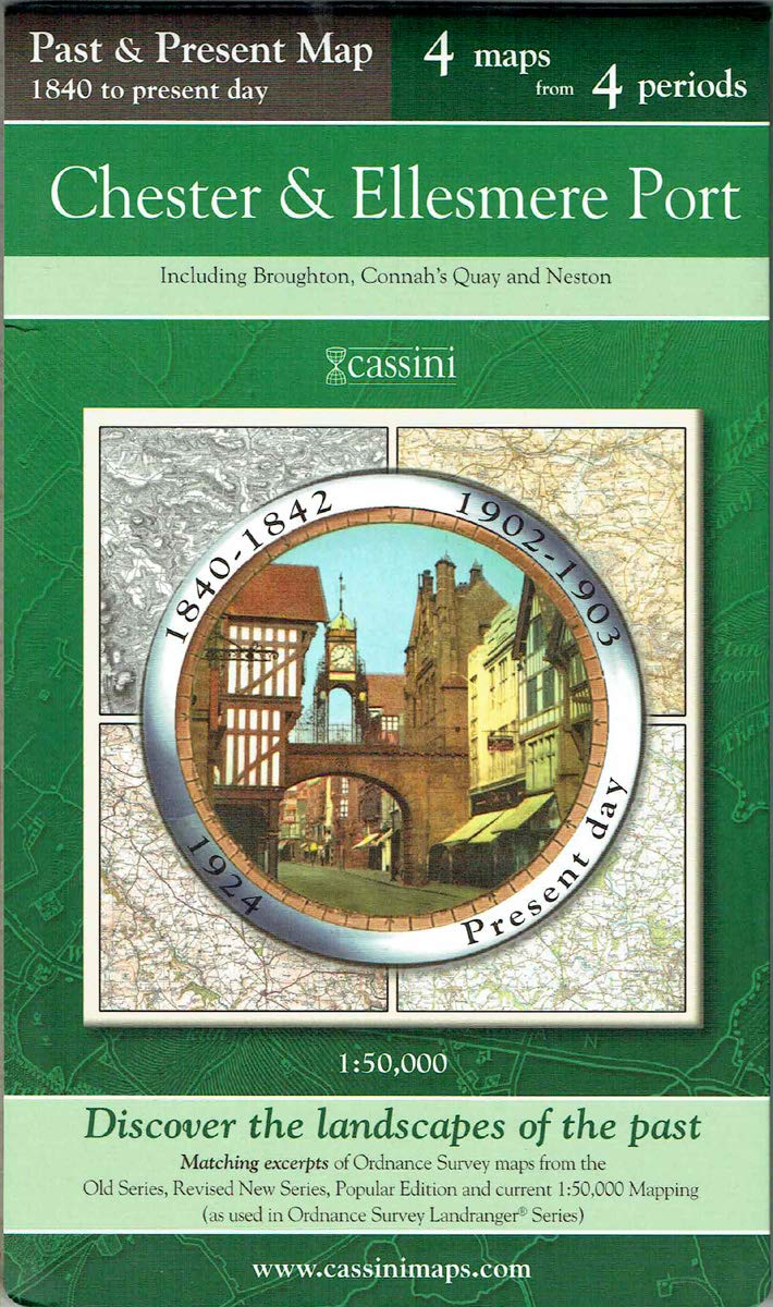
Past & Present Map 1840 - Present Day - Chester & Ellesmere Port (Cheshire) by Historical Maps
Past & Present Map 1840 - Present Day - Chester & Ellesmere Port (Cheshire) by Historical Maps
Regular price
£1.50
Regular price
£7.99
Sale price
£1.50
Unit price
/
per
Low stock: 1 left
Couldn't load pickup availability
Past & Present Map 1840 - Present Day - Chester & Ellesmere Port (Cheshire)
Author(s): Historical Maps
Pub: Cassini
Pack Qty: 0 (Map)
ISBN: 9781847364067 - New
Author(s): Historical Maps
Pub: Cassini
Pack Qty: 0 (Map)
ISBN: 9781847364067 - New
0mm x 0mm x 0mm
Publication: 4 December 2007Pages: 1
Each Past & Present Map Is Centred On A City Or Town And Covers An Area Of 15km X 15km Using Four Ordnance Survey Mapping Series To Cover Four Different Periods: The Mid 19th Century, The Late 19th Century, The1920s And The Present-day. All Four Maps Cover Exactly The Same Area. To Achieve This, The Three Historical Maps Have Been Enlarged From Their Original Inch-to-the-mile To Match The 1:50,000 Scale Of The Present-day One.
View full details